
The term İNS refers to an Inertial Navigation System, a self-contained navigation technology that determines the position, orientation, and velocity of a moving object without relying on external references such as GPS or radio signals. In a world increasingly dependent on precise navigation for aircraft, submarines, spacecraft, and autonomous vehicles, İNS plays a critical role in ensuring accuracy and reliability even when satellite signals are unavailable or jammed. From commercial aviation to advanced military missile systems, this technology has revolutionized how machines understand motion and direction. In this comprehensive guide, we will explore how İNS works, its components, real-world applications, advantages, and limitations in modern navigation systems.
What Is an İNS (Inertial Navigation System)?
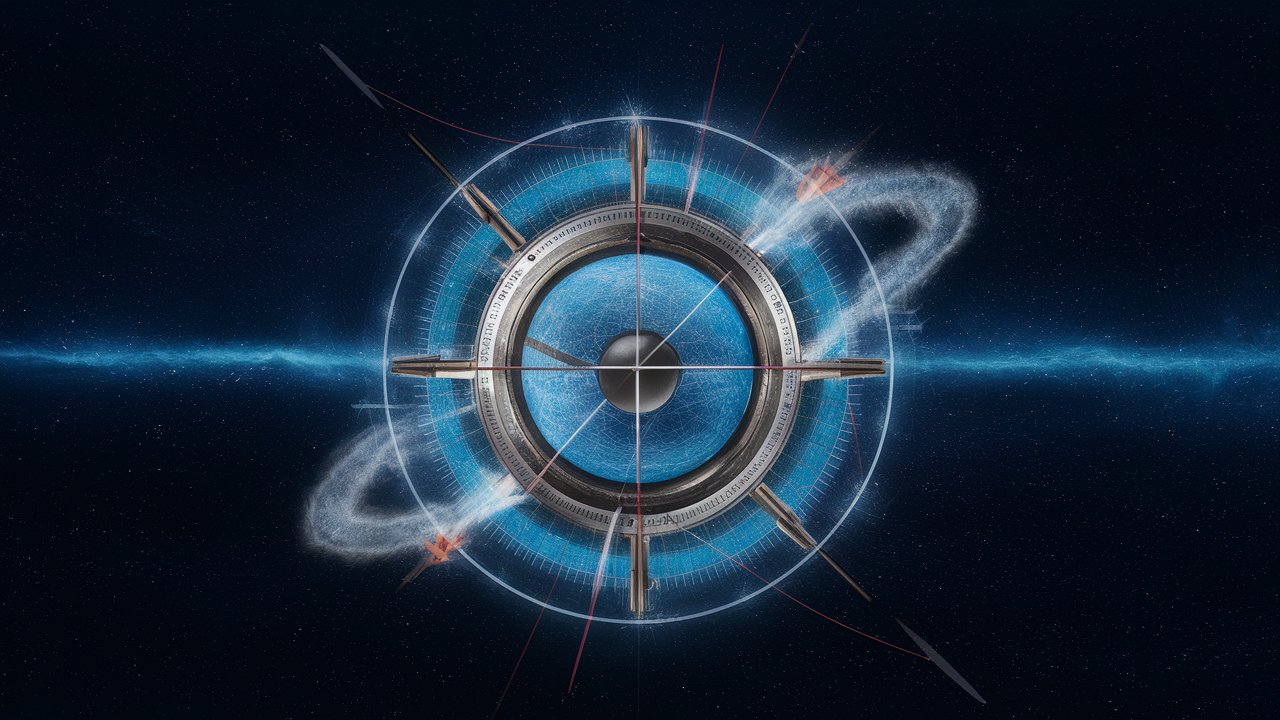
An Inertial Navigation System is a sophisticated device that uses motion sensors to track the movement of an object from a known starting point. Unlike GPS-based systems that depend on satellites, İNS calculates position internally by measuring acceleration and rotation over time. This makes it extremely valuable in environments where external navigation signals are weak, blocked, or intentionally disrupted. The system operates continuously once initialized and does not require external updates, making it autonomous and highly secure for military and aerospace operations. Because it is independent of outside communication, İNS is often integrated into critical platforms such as fighter jets, ballistic missiles, submarines, and even spacecraft where reliability is essential.
How Does İNS Work?
The working principle of İNS is based on Newton’s laws of motion. The system contains accelerometers that measure linear acceleration and gyroscopes that detect rotational motion. When an object moves, accelerometers detect changes in velocity along different axes, while gyroscopes measure changes in orientation. These measurements are processed by onboard computers using advanced mathematical algorithms to calculate current position, speed, and direction relative to the starting point. Over time, small measurement errors can accumulate, which is why modern systems often combine İNS with GPS for correction. However, even without GPS, high-quality military-grade systems can maintain remarkable accuracy for extended periods.
Core Components of İNS Technology
An Inertial Navigation System consists of three major components: sensors, processing unit, and output interface. The sensors include gyroscopes and accelerometers, which are the heart of the system. Modern systems may use ring laser gyroscopes or fiber-optic gyroscopes for high precision. The processing unit performs continuous calculations, integrating acceleration data to determine velocity and position. Finally, the output interface communicates navigation data to the vehicle’s control systems, autopilot, or guidance systems. These components work together seamlessly to provide real-time navigation data without any external signal input.
Applications of İNS in Modern Industries
İNS technology is widely used in aviation, defense, marine navigation, and space exploration. In commercial aircraft, it ensures continuous navigation even if GPS signals are interrupted. Military aircraft and missiles rely heavily on İNS because it cannot be easily jammed or spoofed, making it ideal for defense operations. Submarines use inertial navigation systems since GPS signals cannot penetrate underwater. Spacecraft also depend on inertial navigation for trajectory control during missions. In recent years, autonomous vehicles and drones have integrated İNS technology to enhance positioning accuracy when GPS signals are unreliable, such as in tunnels or urban environments surrounded by tall buildings.
Advantages of İNS Navigation Systems
One of the biggest advantages of İNS is its independence from external signals. This makes it immune to signal interference, jamming, or hacking attempts. It also provides continuous data without relying on communication with satellites or ground stations. Another major benefit is its reliability in harsh environments, including underwater, underground, and outer space. Additionally, İNS offers fast response times and real-time data processing, which is critical in high-speed applications like fighter jets and missile guidance systems.
Limitations of İNS Technology
Despite its advantages, İNS systems are not perfect. The primary limitation is drift error, which occurs because small sensor inaccuracies accumulate over time. This can lead to gradual deviation from the true position if not corrected. High-precision systems reduce drift significantly, but they can be expensive. For this reason, many modern navigation systems combine İNS with GPS in what is known as an integrated navigation system, where GPS corrects accumulated errors and enhances overall accuracy.
Future of İNS in 2026 and Beyond
As sensor technology improves, inertial navigation systems are becoming smaller, more affordable, and more accurate. Microelectromechanical systems (MEMS) technology has enabled compact INS devices suitable for smartphones, drones, and consumer electronics. Artificial intelligence is also being integrated to improve error correction and predictive positioning. In the coming years, İNS will continue to play a vital role in autonomous transportation, space missions, and advanced military systems.
Conclusion
İNS, or Inertial Navigation System, remains one of the most important navigation technologies in the modern world. Its ability to operate independently of external signals makes it indispensable in aviation, defense, marine exploration, and space travel. While it has limitations such as drift error, technological advancements continue to improve accuracy and reduce costs. As autonomous systems and advanced transportation evolve, İNS will remain at the core of reliable and secure navigation worldwide.
Frequently Asked Questions (FAQ)
1. What does İNS stand for?
İNS stands for Inertial Navigation System, a self-contained navigation technology that calculates position using motion sensors.
2. How accurate is an İNS system?
Accuracy depends on sensor quality. Military-grade systems are extremely precise, while consumer-grade versions may experience faster drift.
3. Does İNS require GPS?
No, İNS operates independently. However, combining it with GPS improves long-term accuracy.
4. Where is İNS used?
It is used in aircraft, submarines, missiles, spacecraft, drones, and autonomous vehicles.
5. What is drift error in İNS?
Drift error occurs when small sensor inaccuracies accumulate over time, causing position deviation